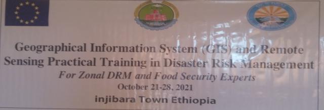
Institute of Disaster Risk Management and Food Security Studies (IDRMFSS) in collaboration with Geospatial Data training center (GDTC) have successfully conducted a practical training on application of Geographical Information Systems (GIS) and Remote Sensing (RS) for Disaster Risk Management from October 21 – 28, 2021. The training participants were from western part of Amarahra region zonal administration and regional office early warning team leaders and experts (South Gondar, Central Gondar, west Gojam, East gojam and region).


The training budget supports were from European Union Disaster Risk Management decentralization project through the implementing Partner (Amhara National Regional State disaster Risk Management, food security program and special needs area coordination commission).
Finally, we agreed that this training will scale up to other part of the region and the region early warning systems and information management will be modernized.

