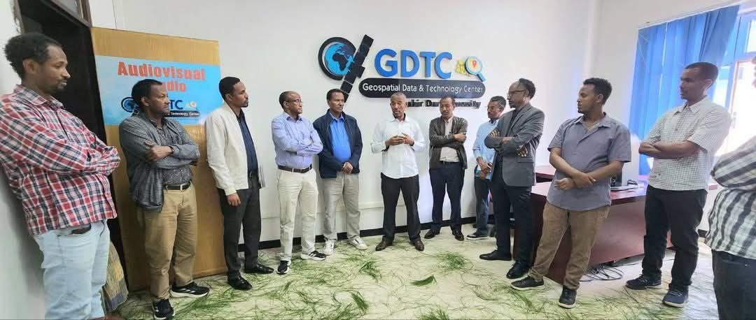
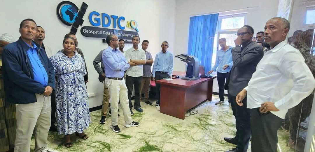
Core Activities and Initiatives
1. Training and Capacity Building
The GDTC regularly conducts specialized training programs to enhance the skills of professionals in geospatial technologies. Topics covered included GIS basics with ArcGIS, geodatabase design, programing, ground surveying, and remote sensing.
2. Research and Development
The GDTC is actively involved in research across various thematic areas, including climate change, land degradation, disaster risk, land law, policy and rights, land conflict resolution, innovative land information systems, and geospatial science and technology for land administration.
3. Consultancy Services
GDTC provides expert consultancy to support geospatial project implementation across sectors. Using spatial analysis, flood risk mapping, and hydrological modeling, GDTC delivered actionable recommendations for infrastructure planning and disaster risk reduction and so on.
4. Data Sharing and Technology Transfer
To promote evidence-based decision-making, GDTC curates and shares high-quality geospatial datasets. All datasets are documented, regularly updated, and available in formats compatible with major GIS software, supporting academic research and government planning.