


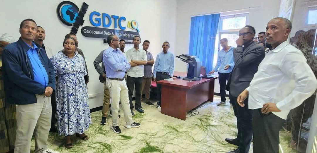
Key Activities and Initiatives
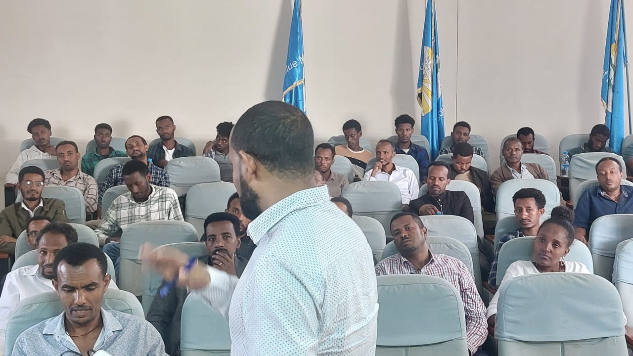
1. Training and Capacity Building
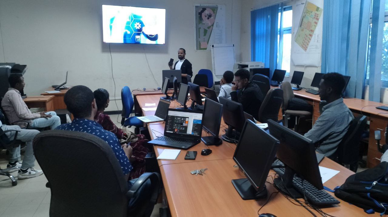
The GDTC regularly conducts specialized training programs to enhance the skills of professionals in geospatial technologies. For instance, in March 2021, it collaborated with the Ethiopian Educational Network to Support Agricultural Transformation (EENSAT) to offer a five-day hands-on training on GIS and surveying. Topics covered included GIS basics with ArcGIS, geodatabase design, data wrangling, ground surveying, and remote sensing.
Additionally, in December 2020, the GDTC hosted a three-day training on Unmanned Aerial Vehicles (UAVs), focusing on drone operation and aerial photo processing using software like Pix4D and Agisoft. This training was conducted in collaboration with the Information Network Security Agency (INSA) and targeted BDU staff with backgrounds in geospatial technology.
2. Research and Development
The GDTC is actively involved in research across various thematic areas, including land law, policy and rights, land conflict resolution, innovative land information systems, and geospatial science and technology for land administration


